A shadow is only as good as what casts it.
The sun position is exact math. The buildings, trees and hills it falls on come from the most complete open datasets available, and anything Sunframe has to estimate is labeled.
Overture Maps merges OpenStreetMap with machine-mapped footprints from satellite imagery, so rural areas and fast-growing cities are covered too. Includes heights, floors, building parts and roof shapes where known.
Meta and WRI's global canopy height map (CHMv2), derived from high-resolution satellite imagery. Trees are placed where canopy exists and sized to its measured height.
Mapterhorn blends Copernicus GLO-30 with higher-resolution national elevation data where it exists. Hills cast real shadows on the streets below.
Drag to compare
Same place, same sun, same camera. Only the data changes, and so do the shadows.
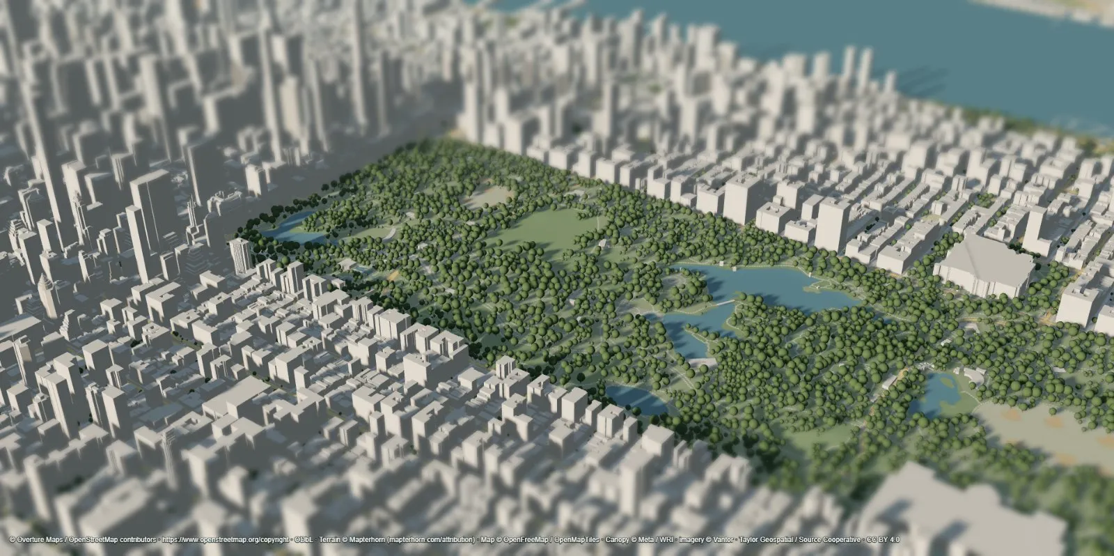
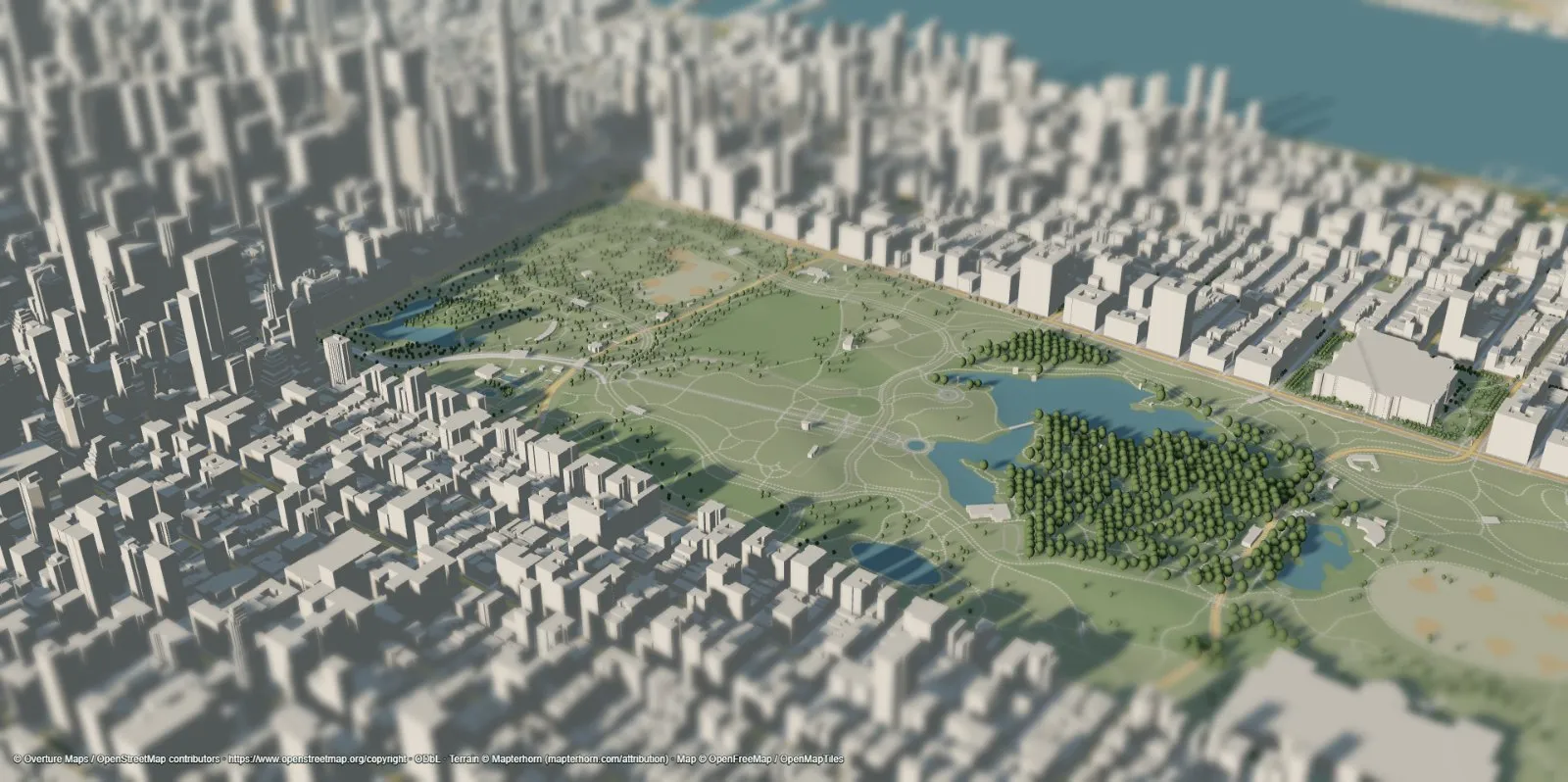 Mapped points only
CHMv2 canopy
A park, not a lawn
Mapped tree points cover only the trees volunteers have added. Canopy height data fills the park the way it really looks from above.
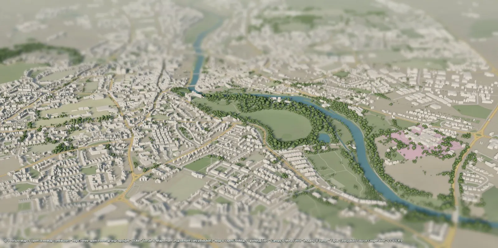
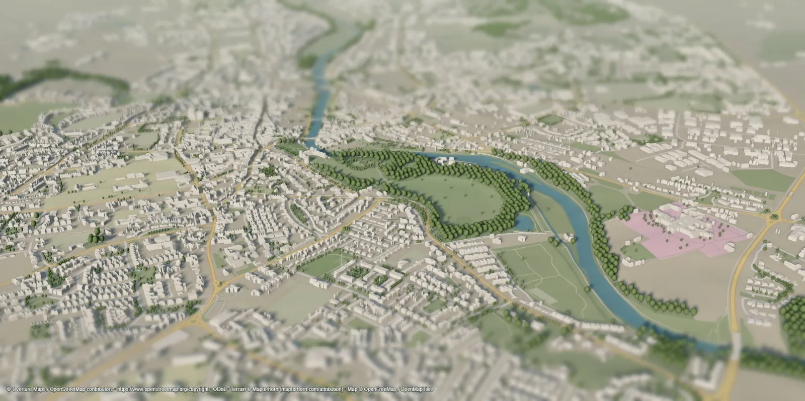 Estimated woodland
CHMv2 canopy
Street trees and river banks, too
Without canopy data, trees only appear where a forest is mapped. With it, every garden, avenue and riverbank gets trees at measured heights.
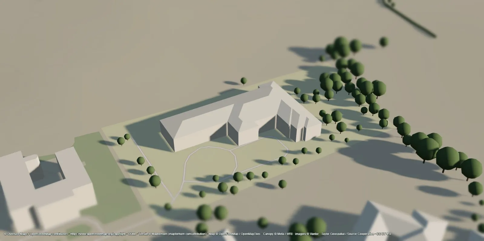
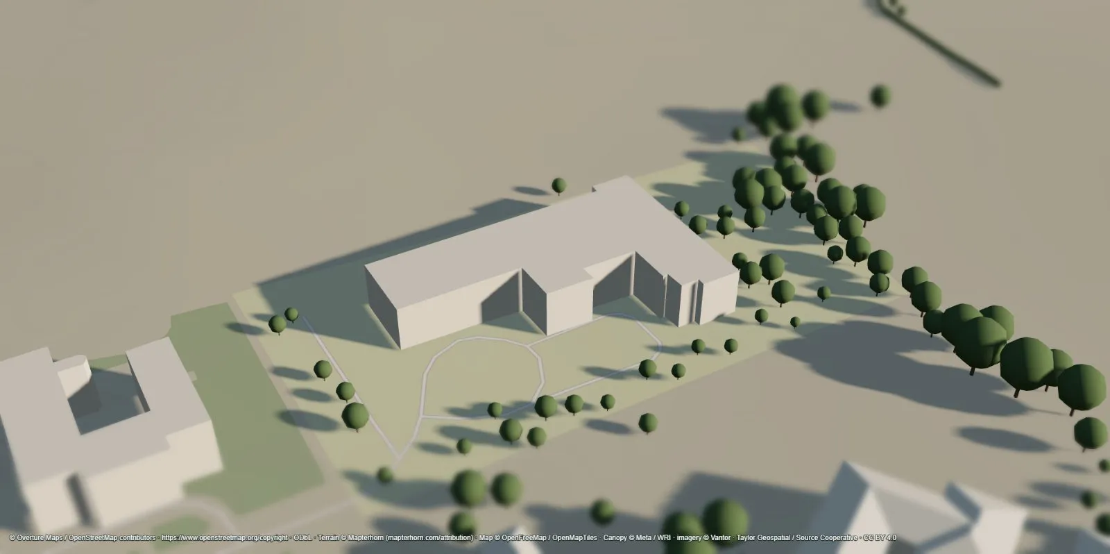 Default flat roof
Reconstructed roof
Roofs that follow the footprint
Most maps extrude every building into a box. Sunframe builds hip and gable roofs along the real footprint, wings and courtyards included, so the shadow on the lawn has the right shape.
How Sunframe compares
| Sunframe | Typical 3D web maps | OSM-only 3D viewers | |
|---|---|---|---|
| Buildings | 2B+ merged footprints, global | Detailed in major cities, sparse elsewhere | Only what volunteers have mapped |
| Heights & roofs | Source heights and six roof types; estimates labeled | Often generic boxes | Mostly flat boxes |
| Trees | Measured canopy heights anywhere | None or decorative | Mapped points only |
| Terrain | 30 m global plus regional high-res | Varies | Often flat |
| Sun & shadows | Any date and time, on terrain too | Rare | Rare |
| Edit & export | Edit anything; export GLB, glTF, OBJ, STL, 3MF | View only | Limited |
| Cost | Free at launch, no account, no API key | Account or API key often required | Free |
Open data is great, not perfect
Sunframe is for exploring, visualizing and early ideas, not surveying. Here is what to keep in mind.
Missing heights are estimated from floor counts, or a default, and marked Estimated in the editor.
Canopy data is historical imagery, not a tree survey. Tree positions and species are inferred.
Terrain resolution varies by country, and some sources include rooftops or trees in ground height.
Sunlight is clear-sky, without clouds or weather.
Sources
| Dataset | Used for | License |
|---|---|---|
| Overture Maps | Buildings, bridges, walls, mapped trees | ODbL and source licenses |
| Meta / WRI CHMv2 | Canopy-height trees | CC BY 4.0 |
| Mapterhorn | Terrain elevation | Per regional source |
| OpenFreeMap | Basemap | © OpenMapTiles, OpenStreetMap contributors |